Following my warm-up with the 1x1-tile Räyskälä landscape, I have been working on a (slightly) larger scenery around the same area in South-West Finland which is the most active soaring zone of Finland, laying between Helsinki Vantaa EFHK, Tampere Pirkkala EFTP and Turku EFTU. It roughly covers the region called Kanta-Häme in Finnish, and sometimes refered to as Tavastia.

The area is large enough to task several 150km triangles, and at least one 200km one. I have found it interesting to use a real-like VFR map as the background for the PDA map. The 1/4tile no-fly zone is explicitely hightlighted on it, since this is an issue on a such small scenery.

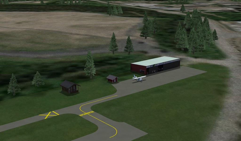
The landscape is still modest with its 5x3 size and 3 airports (Räyskälä EFRY, Hyvinkää EFHV and Forssa EFFO), but it looks adequately sized for a sensible progression in scenery modelling.
All of the required topographic data are freely available from official Finnish agencies, so the elevation model, tile making, forest and thermal maps were built at a steady pace with no major hiccups. The result can be seen below :
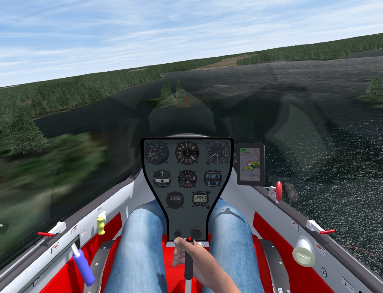
EFRY with its famous runway 12 lake approach :

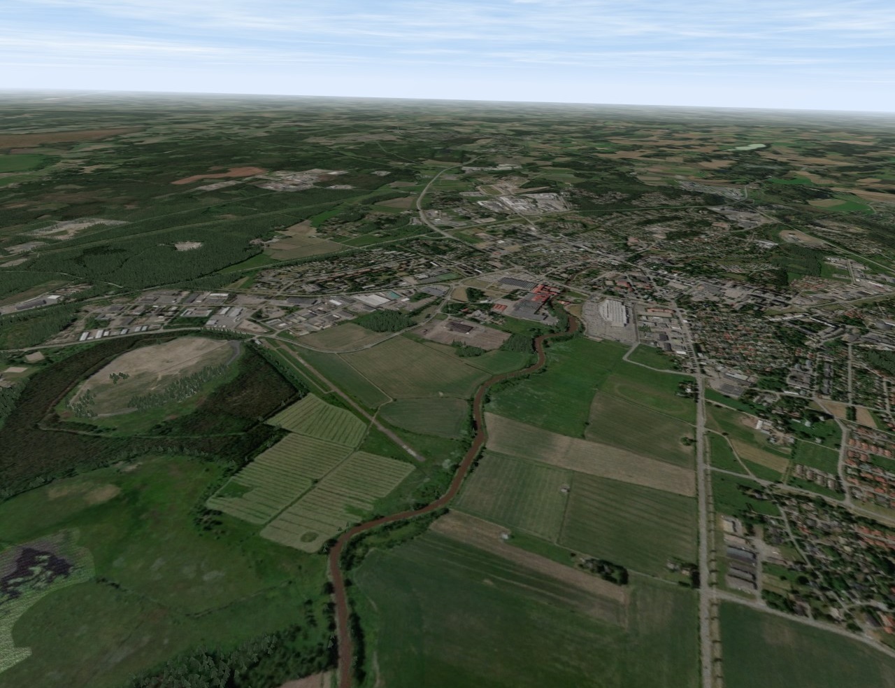
EFFO :
EFHV :

So the next big item is to tackle the 3D airport creation. Off we go then!
Once again, thank you to all of the contributors who have given us tools, tutorials and inspiration!