Time for another update, working my way south now. I've also tweaked some of the textures some, so it will look a little differently from the earlier screenshots. I'll take you on a little trip from east to west in the newly completed part of the scenery so that you can see how the terrain varies and changes.
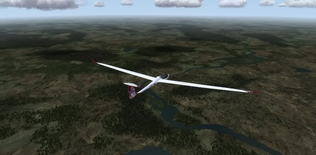
Starting off in the easternmost part of the scenery, this is in Northern Sweden. Mostly forests, bogs and lakes here, and quite flat:
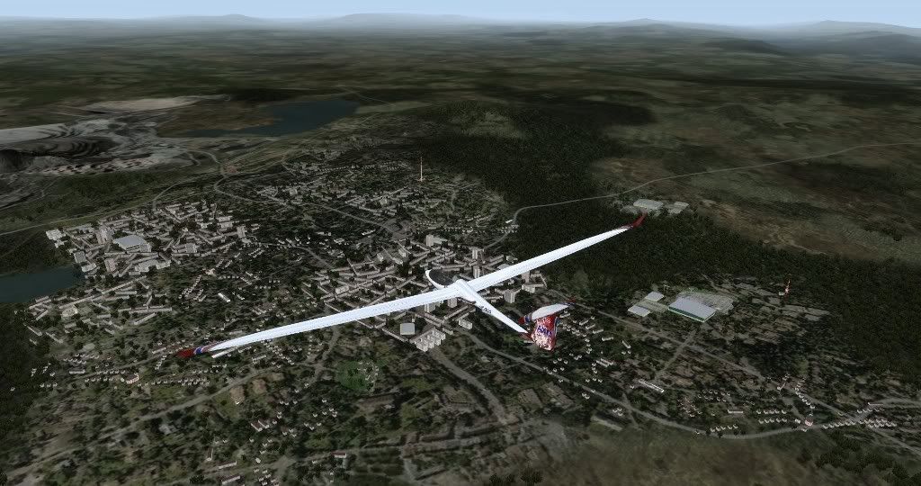
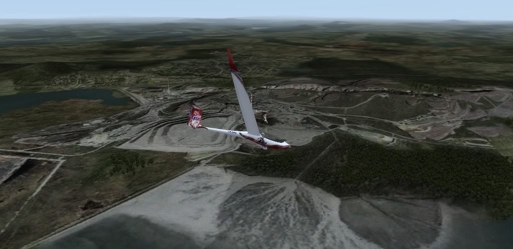
Here is the biggest city in the Swedish side of the map, Kiruna. Population around 20 000:
And here is the reason the city exists, this gigantic iron ore mine. In fact this is the larges such mine in the world! The iron ore is transported by train to the port city of Narvik in Norway.
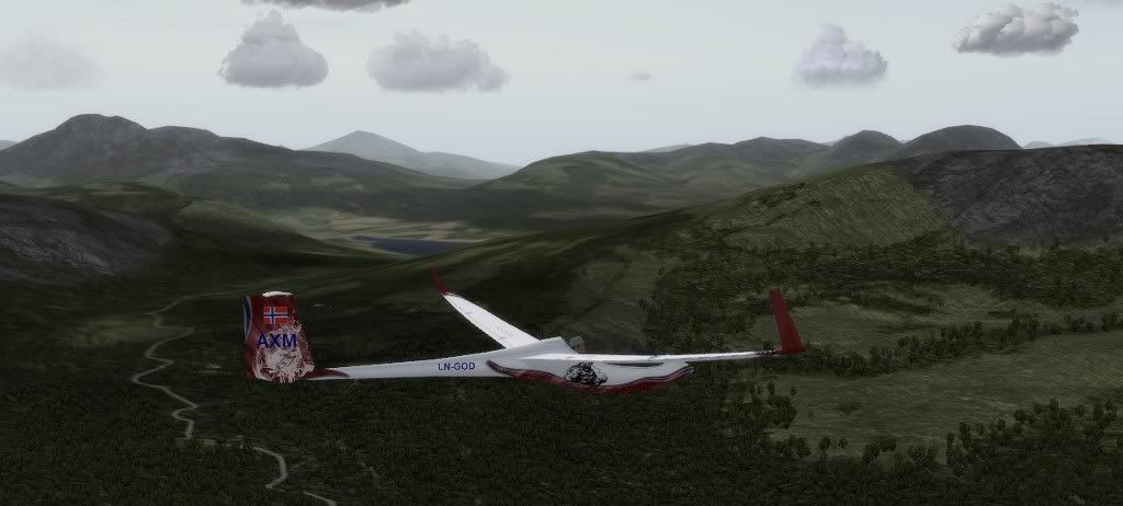
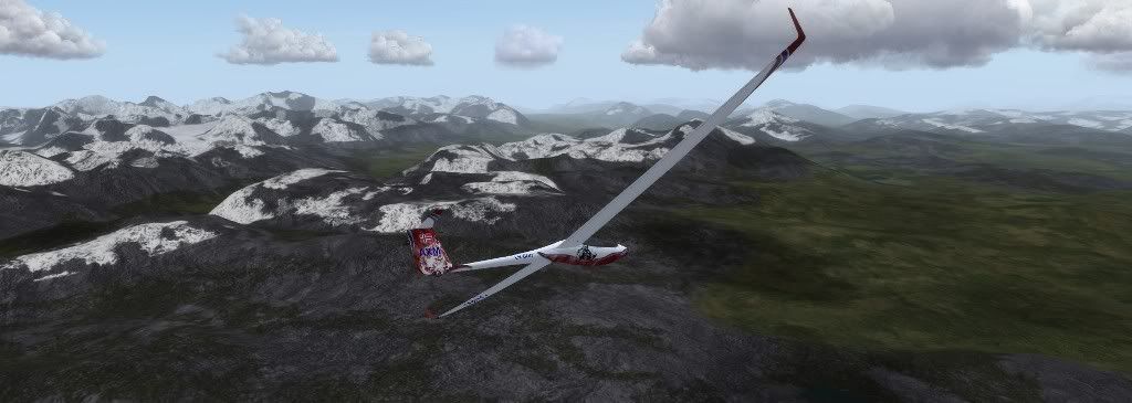
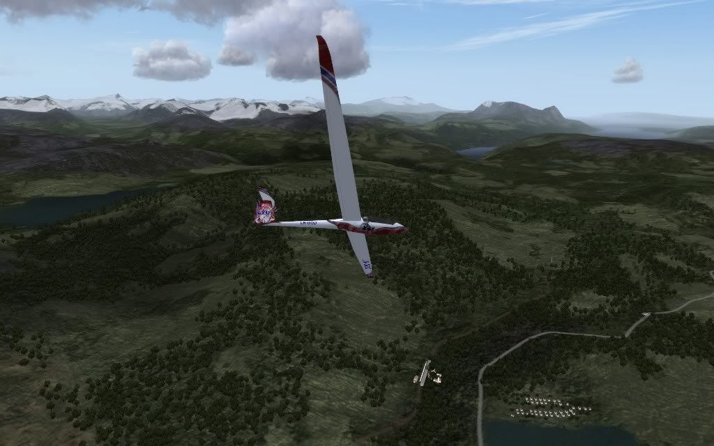
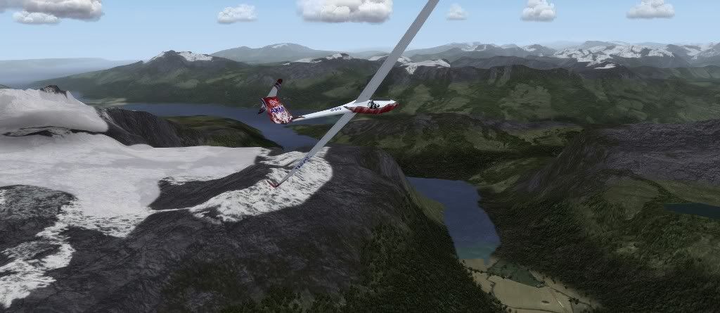
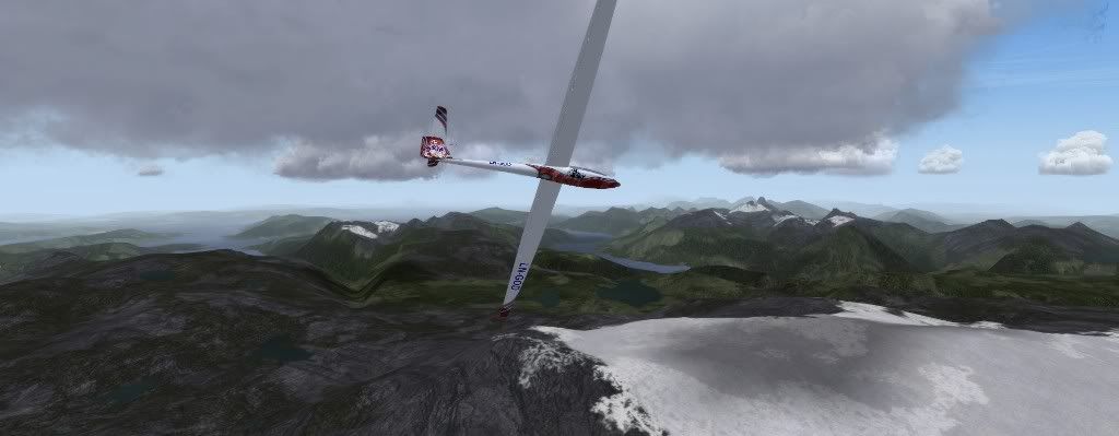
About 50 km west of Kiruna starts a mountain range with the tallest mountains in Sweden (and in this scenery):
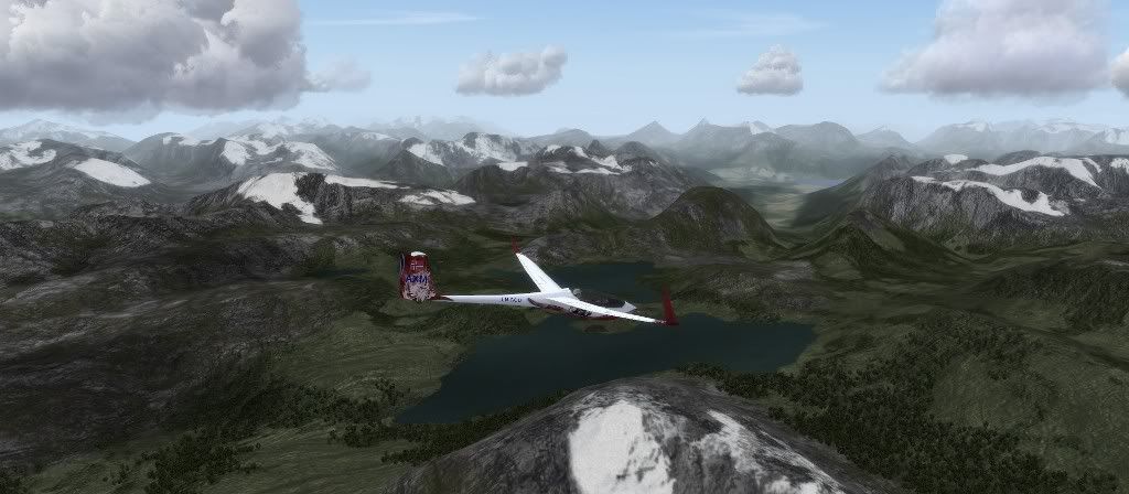
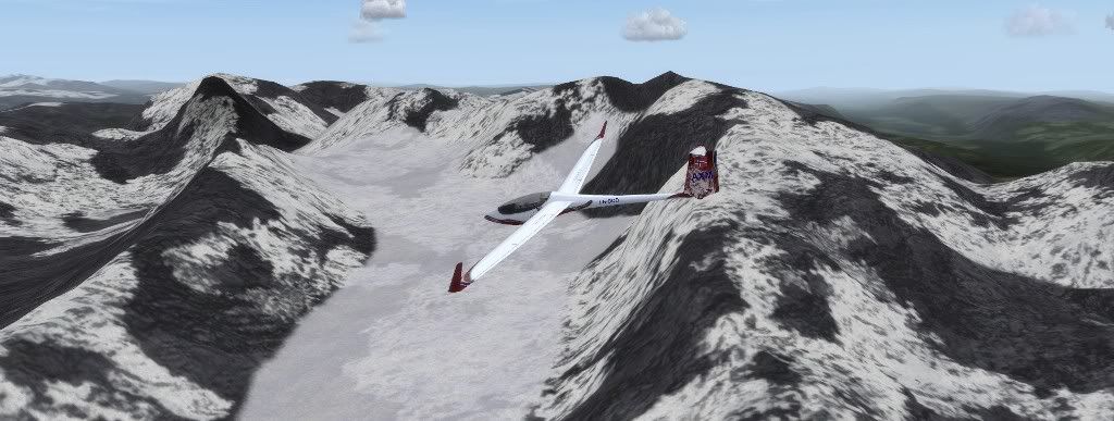
This is Sweden's tallest mountain, Kebnekaise at 2109 meters. The Kiruna gliding club has a camp each year where they go flying in the wave around Kebnekaise, and that's where all the swedish altitude records are set:
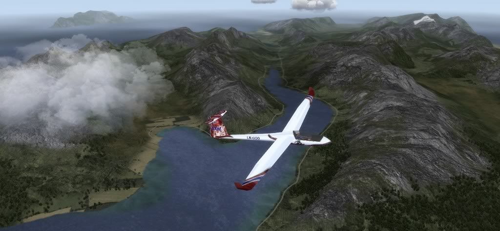
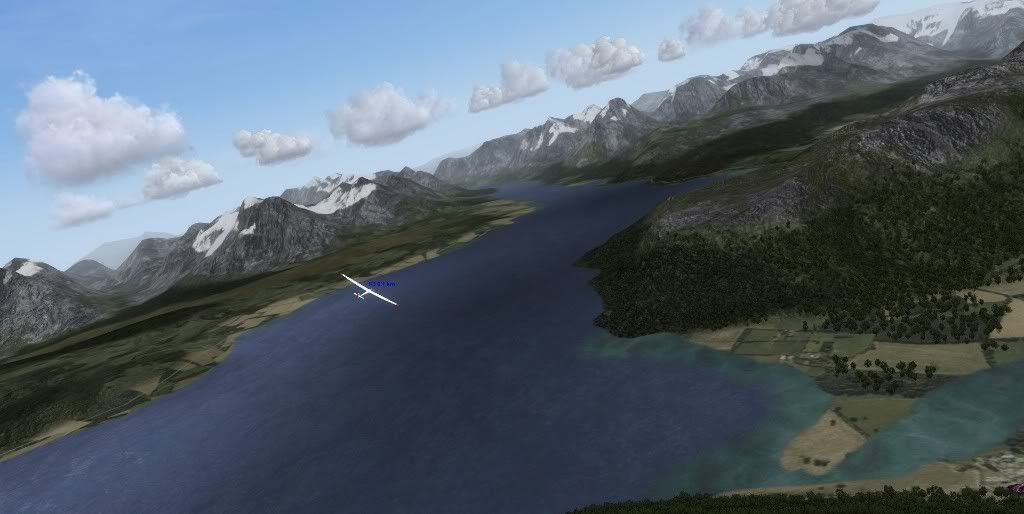
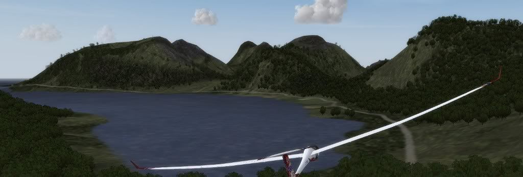
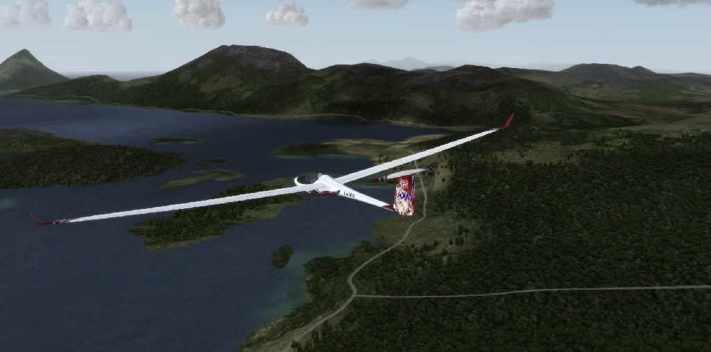
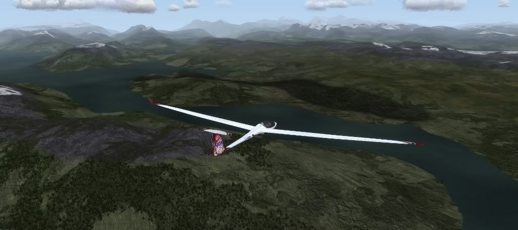
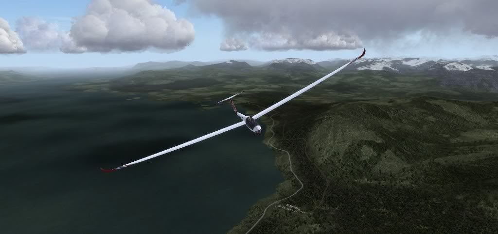
A bit north of Kebnekaise lies Torneträsk, the largest lake of the scenery. It's not very wide, but more than 70 km long.
Right at the border to Norway lies this big Swedish skiing resort, Riksgränsen. Although skiing conditions obviously aren't very good at this time of year

This is also the point where Norway is at its narrowest, less than 7 km separates Sweden from the sea (represented by the innermost point of the Ofotfjord) at this point. Narvik lies by the mountain out by the sea.
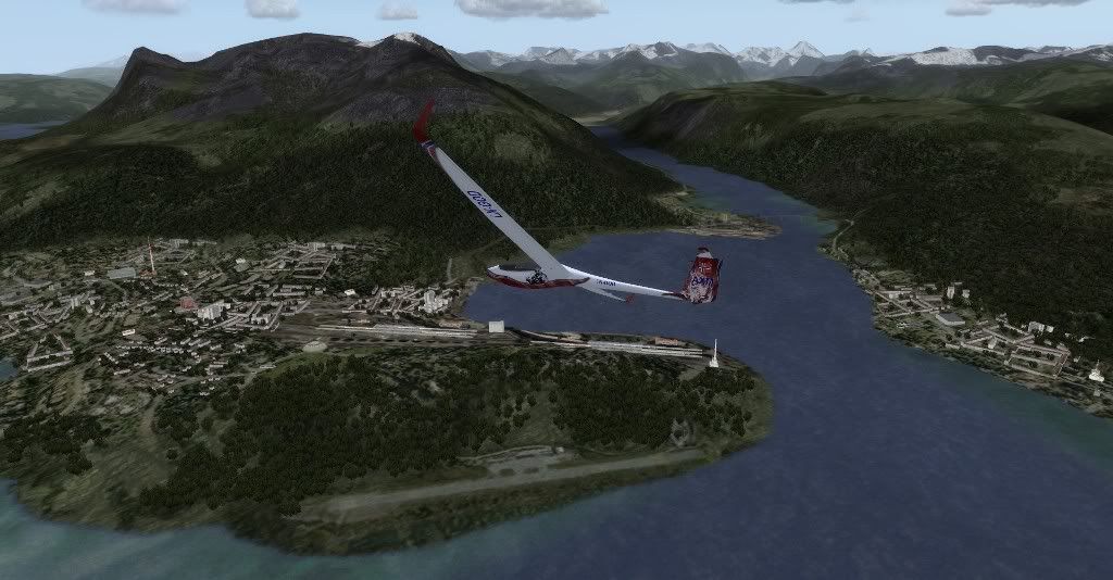
Here is Narvik, the port city where the railway line ends (I haven't finished the small city airport in Narvik yet):
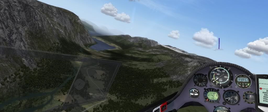
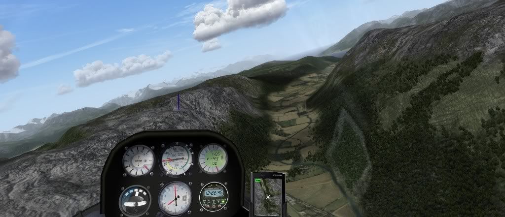
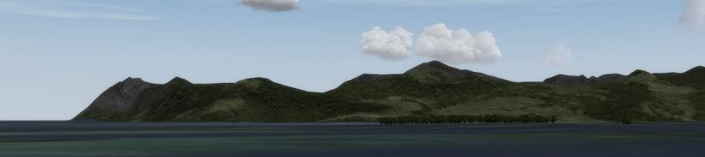
Continuing west from Narvik:

About 30 km west of Narvik lies the bigger airport of Evenes (not to be confused with the small glider airfield Elvenes, which lies about 50 km north of Narvik):
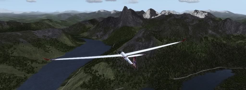
The Skjomen fjord, west of Narvik:
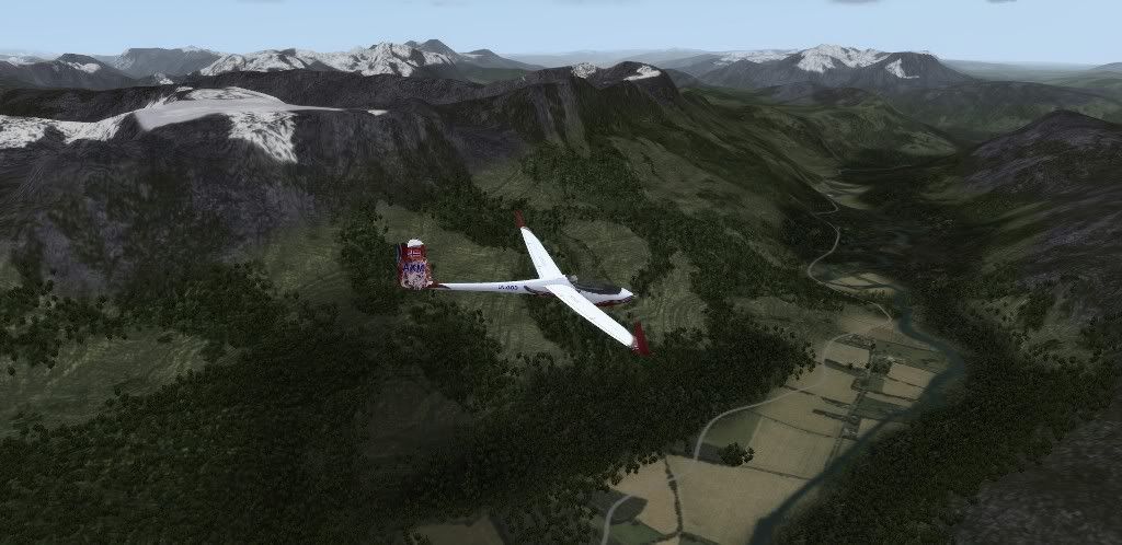
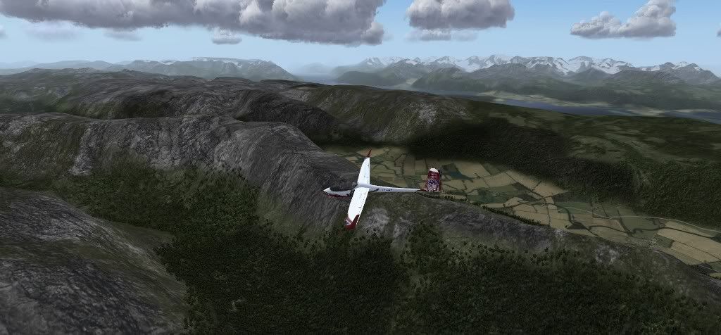
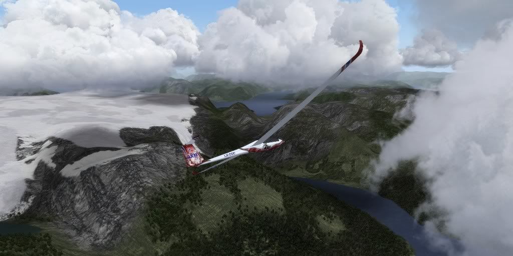
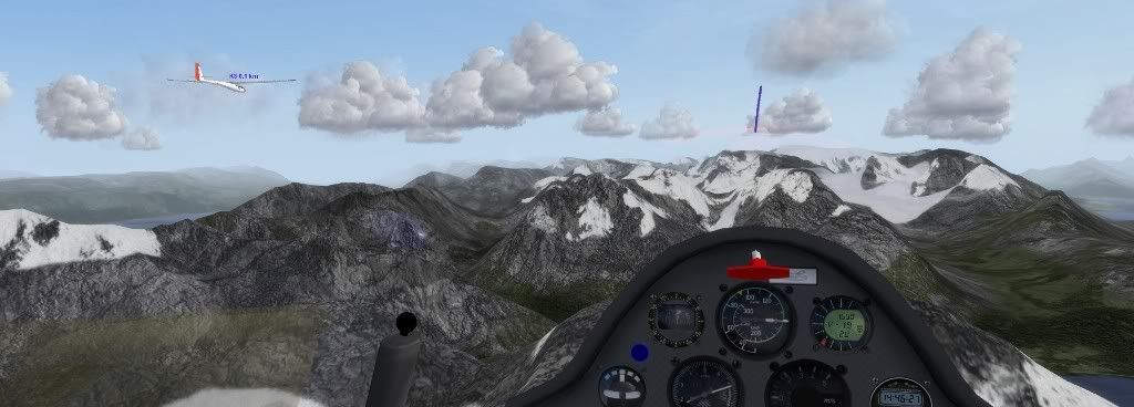
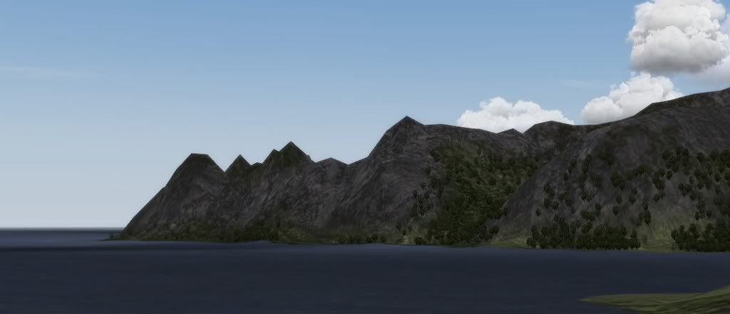
Some nice ridges here!:
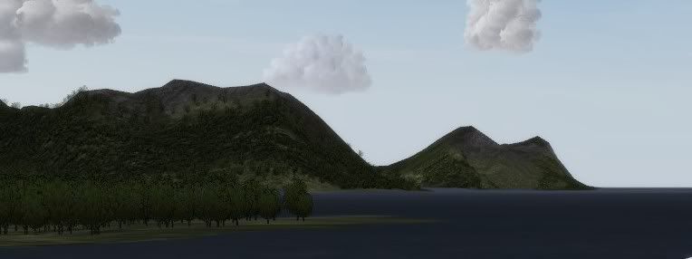
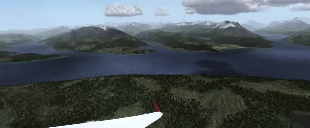
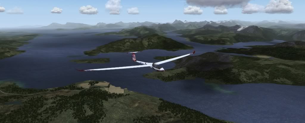
Further west, out towards the sea:
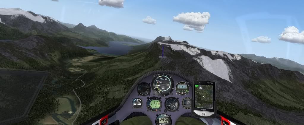
Norway's national mountain (the steep peak in the center), Stetinden:
And this is where I'll end this update, above Tysfjord:
Progress may be a little slow for the next weeks, as I'm going on vacation. But I'll be visiting part of this scenery, so let's call it research
Hopefully I'll be able to do some flying too, and I'll take some pictures.