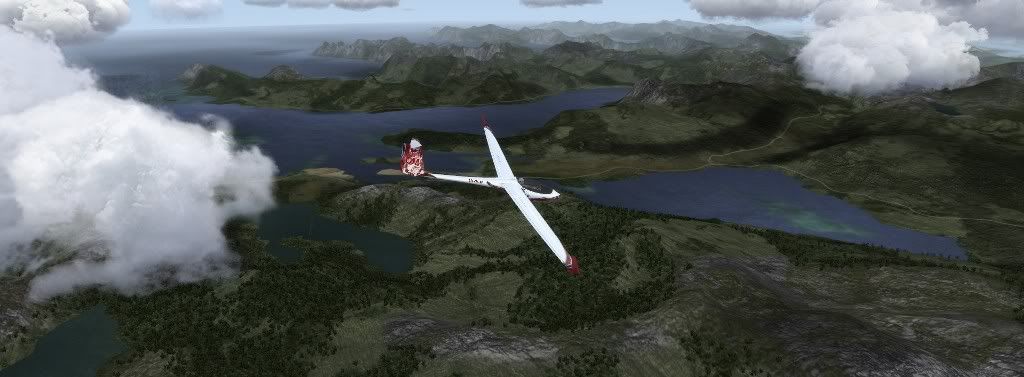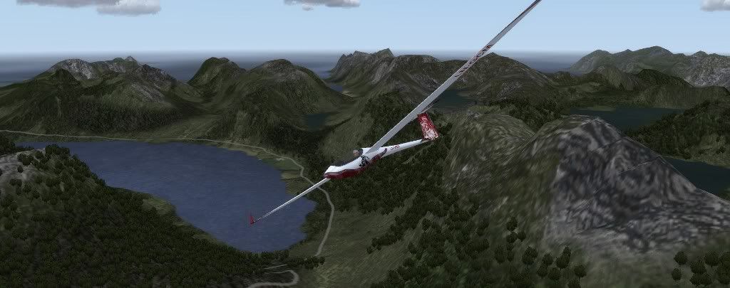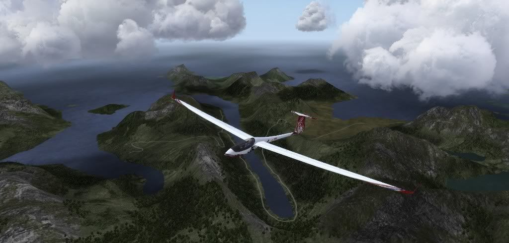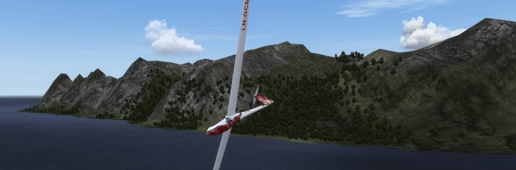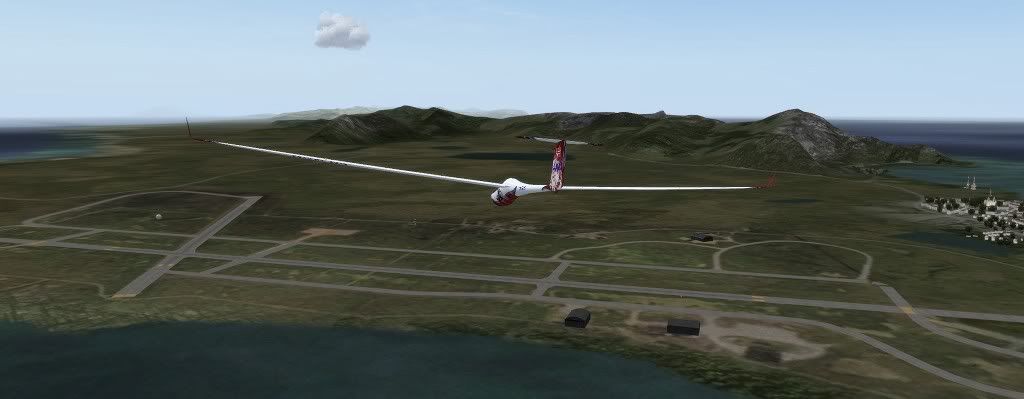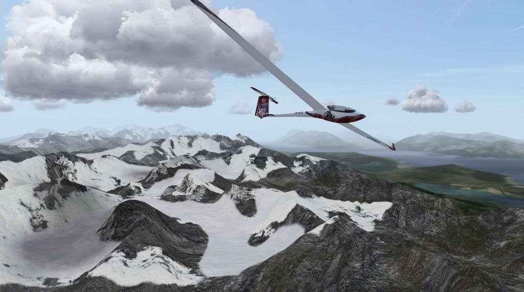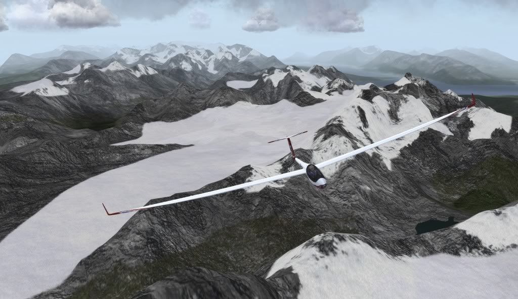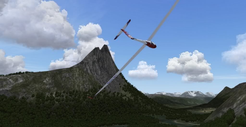
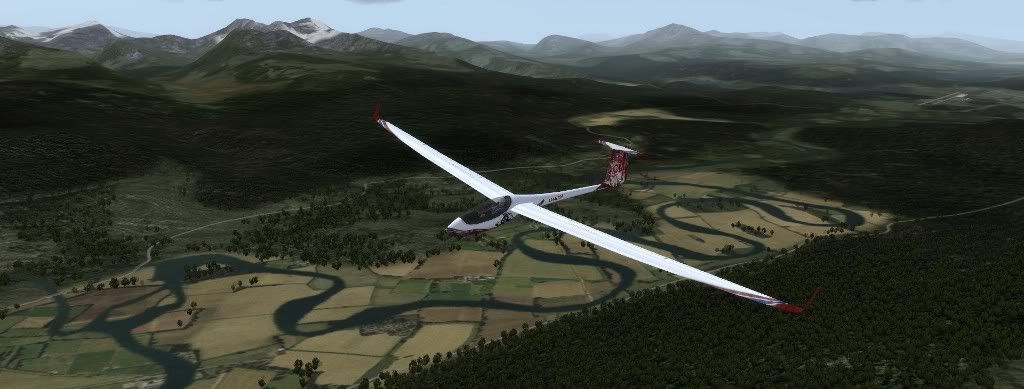
Andørja (not to be confused with nearby islands Andøya, or Arnøya - you would think they could come up with slightly more different names!) is Northern Europe's most mountainous island. Despite being only about 12 km in diameter, it has managed to cram in 14 peaks above 1000 meters, and a 10 km fjord which nearly cuts the island in half:
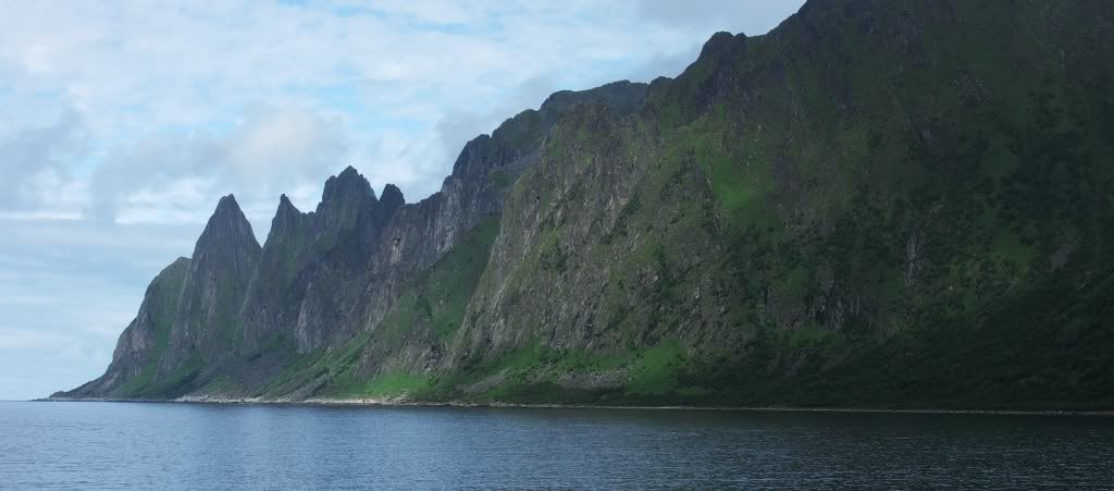
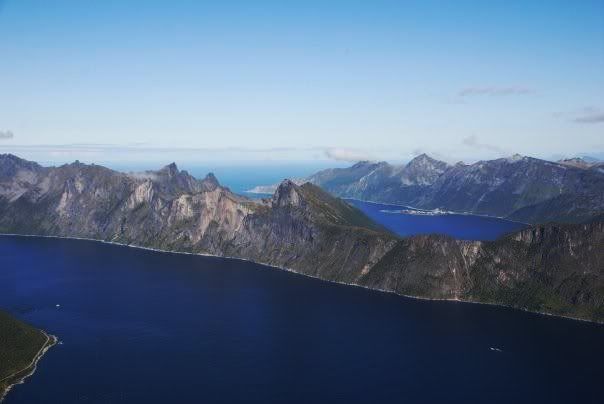
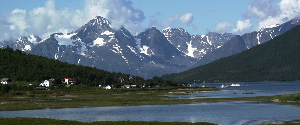
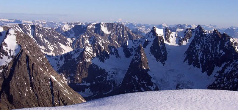
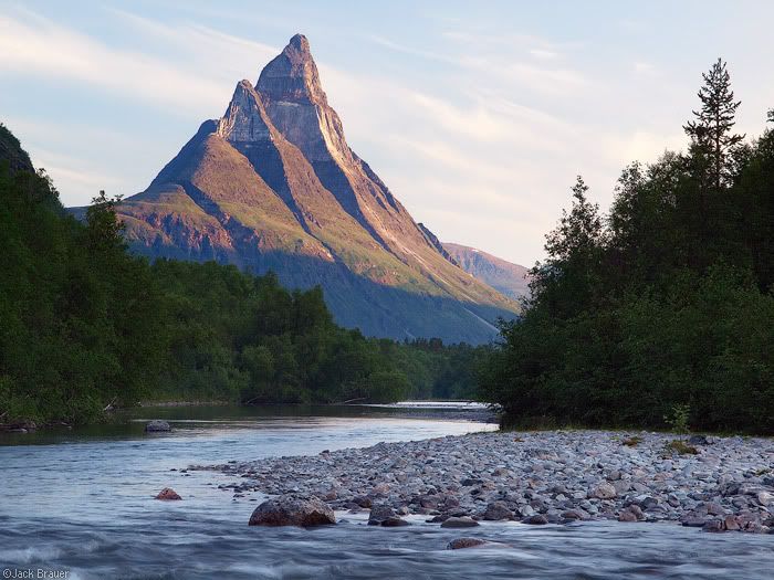
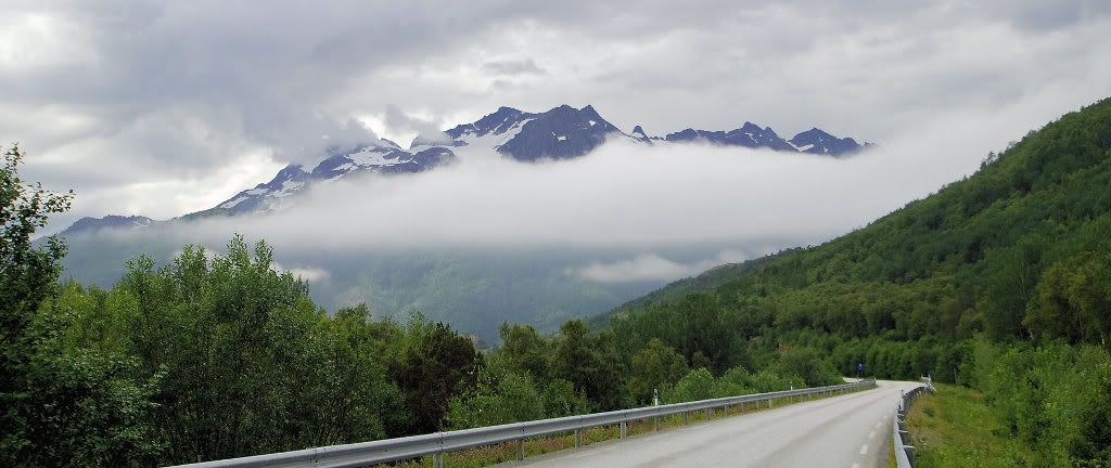
Here's a picture from the real Andørja:
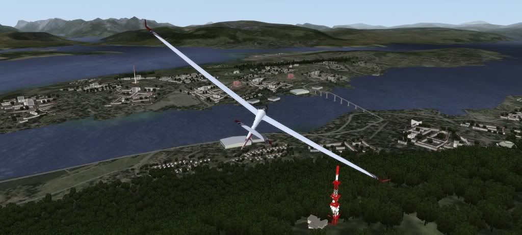
Next, further inland, is the first of the bigger airports of the scenery, Bardufoss:
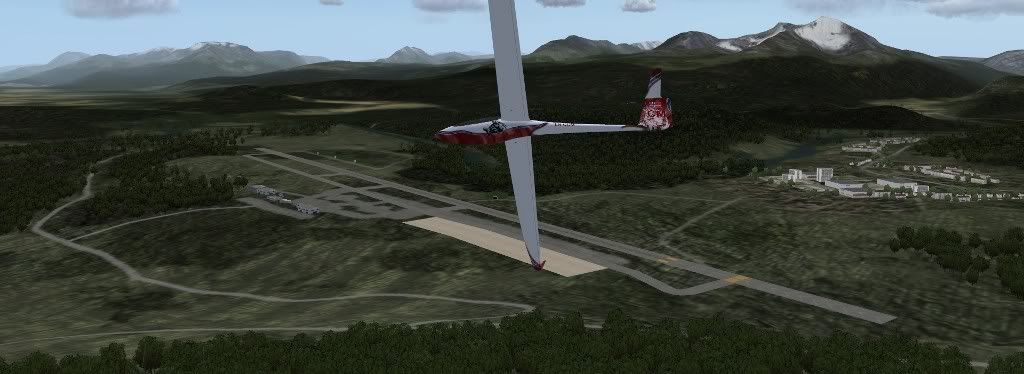
Bardufoss is a military airfield which houses two helicopter squadrons and the air force pilot school (watch out for newbies in the pattern!
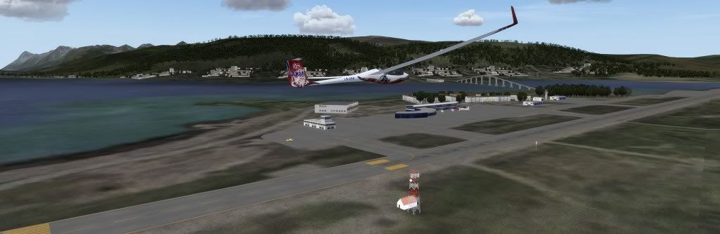
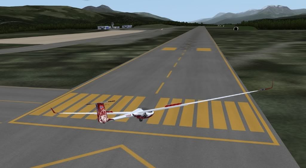
On final approach, you can see the distinctive yellow marking used at Norwegian airfields to make it more visible when there is snow:
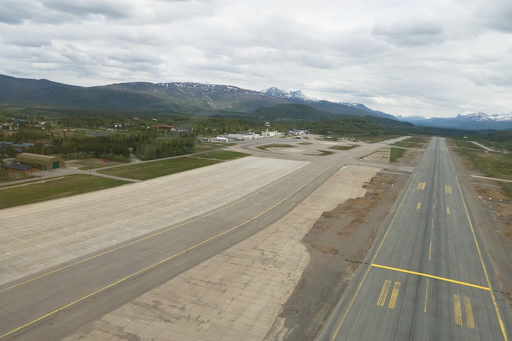
And this is what it looks like in real life:
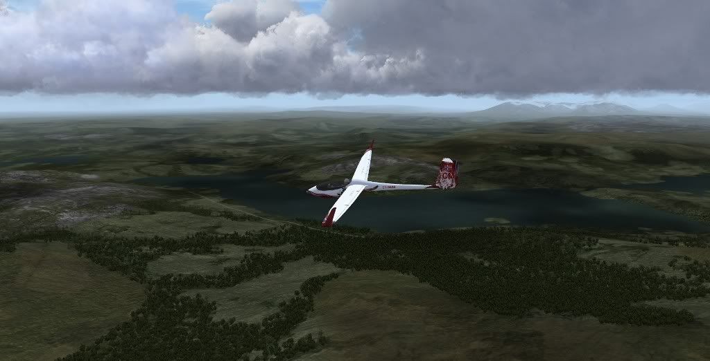
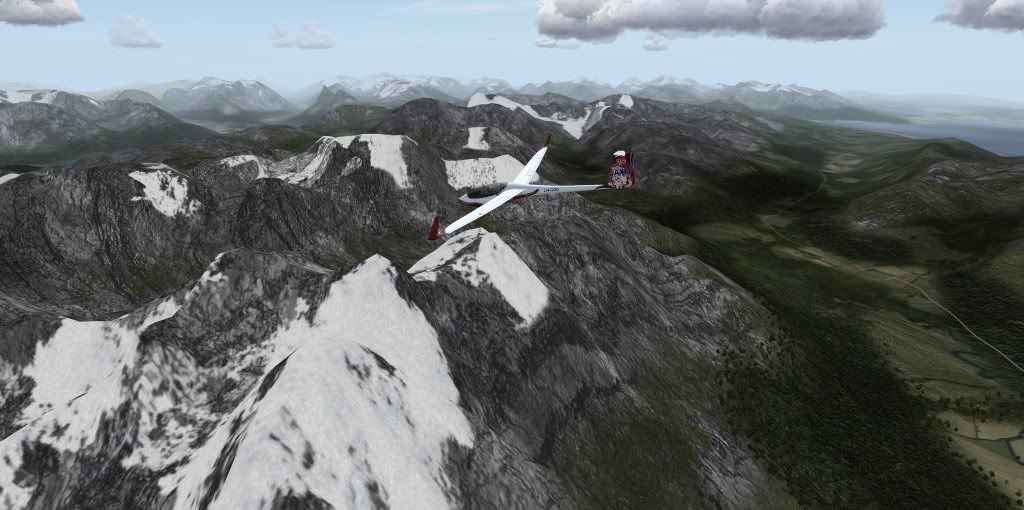
In the valley east of the airport (Bardufoss in background right):
In a valley in Bardu, south of the Bardufoss:
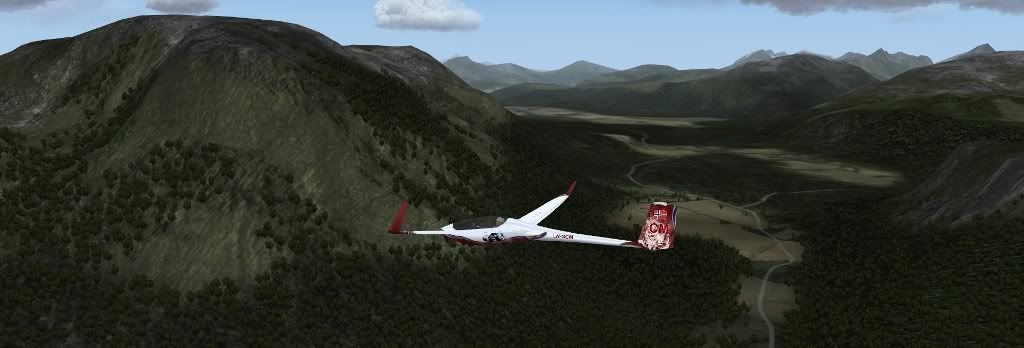
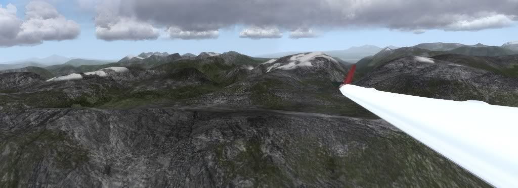
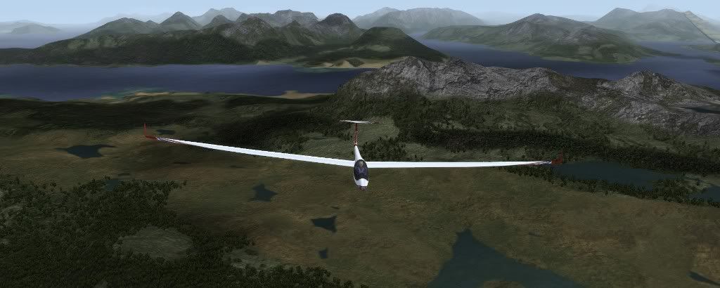
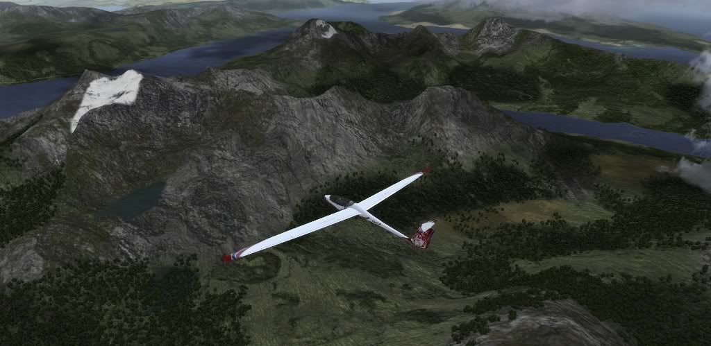
Further east towards the Swedish border, getting to some more mountainous terrain: