The scenery is progressing and getting closer to finished! Testing has now started (if you have the time and dedication and want to participate send me a PM), and the only area left to texture is the Lofoten archipelago in the western part of the scenery. Plus some more airports need to be finished, and testing probably reveals some issues which need fixing.
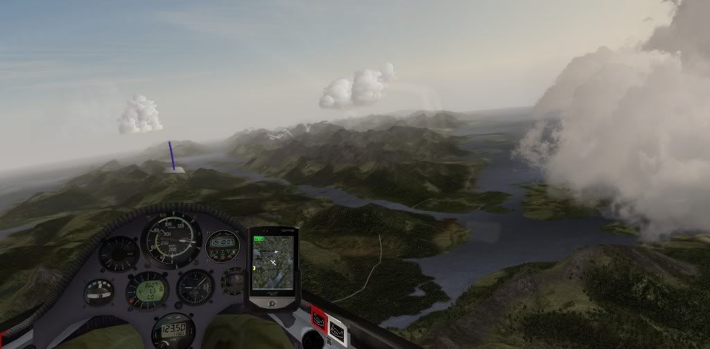
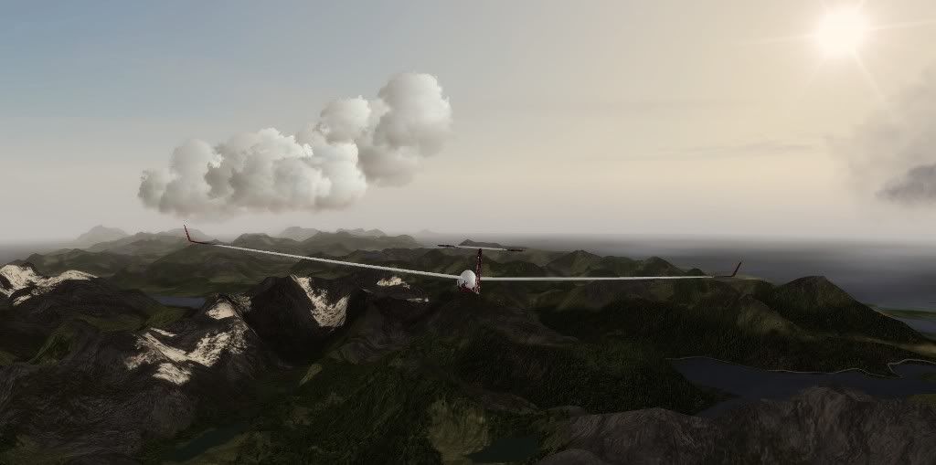
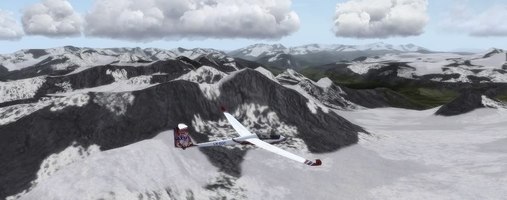
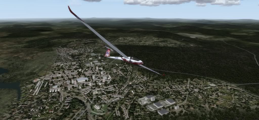
Here are some screenshots from the southern part of the scenery.
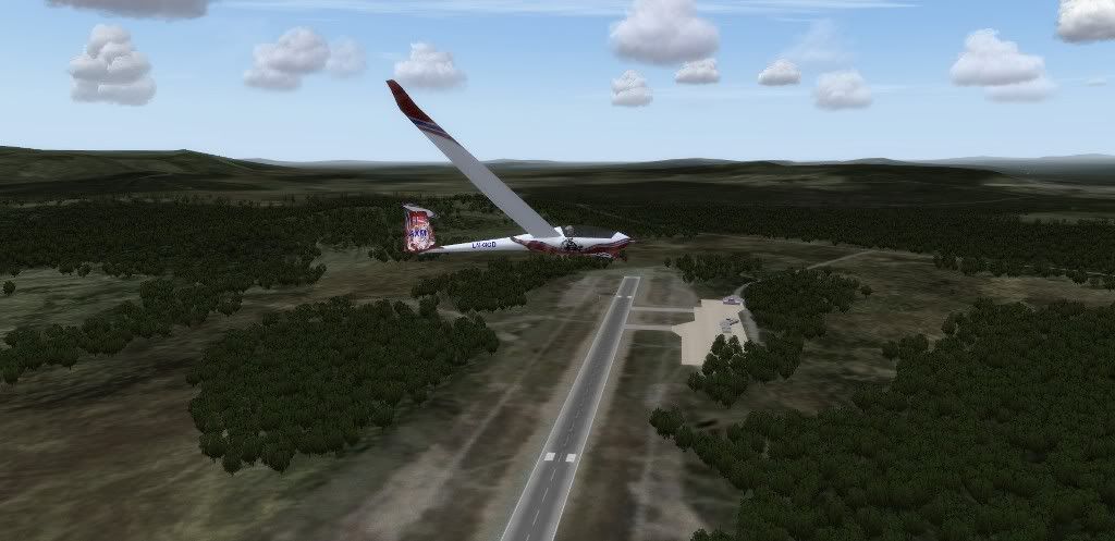
Here is Norhern Norway's newest airfield, Engeløy. This local general aviation airfield opened in 2009 when a local farmer decided he wanted to turn one of his fields into an airfield
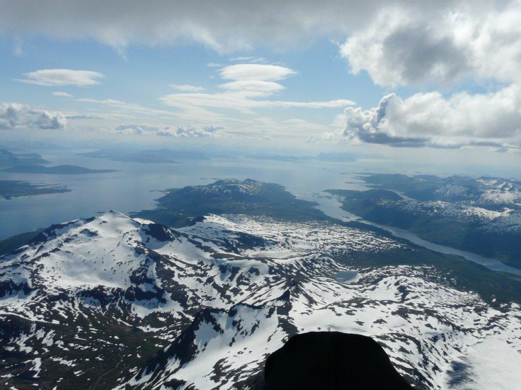
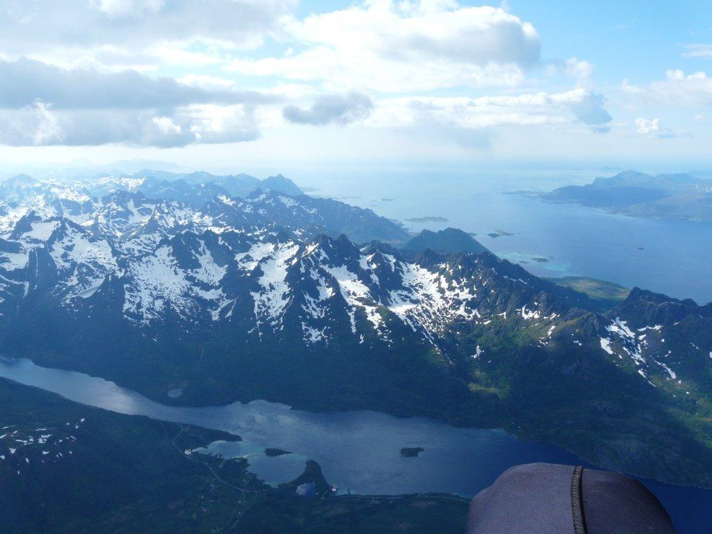
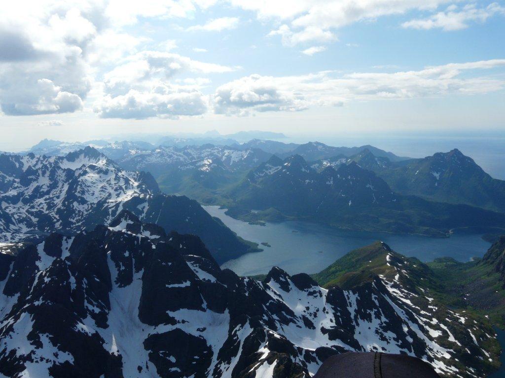
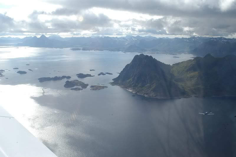
Some of the islands along the coast:
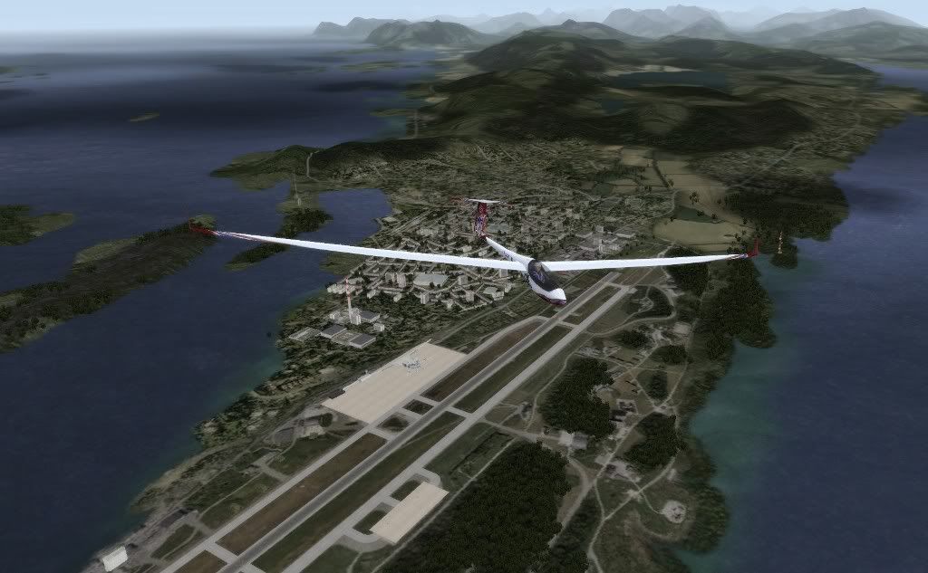
In the south western end we find the second biggest city of the scenery, Bodø:
The air base in Bodø is the biggest military air base in Norway, and houses two squadrons of F-16s. It's also an important civilian airport in the area.
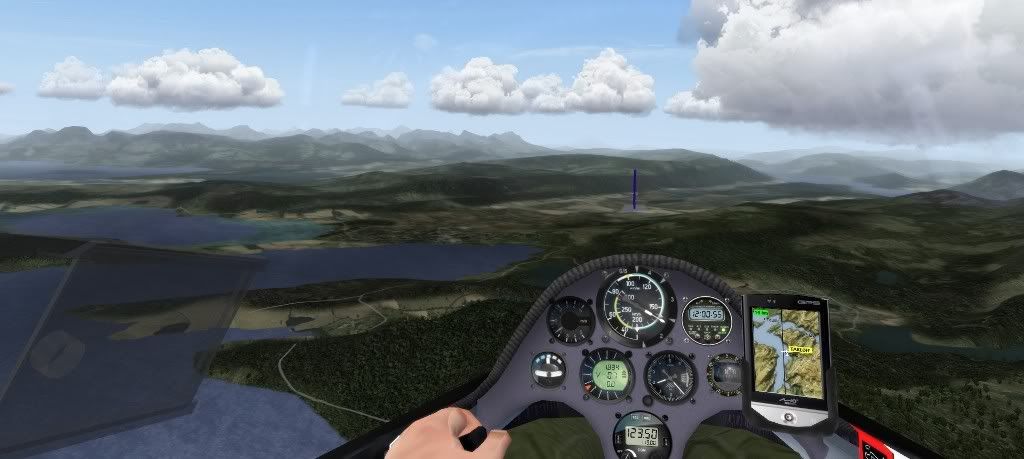
Fauske, east of Bodø:
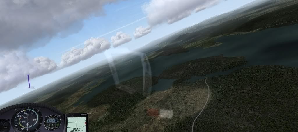
Now in Sweden. This lakes goes on for more than 150 km. Actually it's 3 separate lakes joined by two short rivers.
Getting into the second big mountain range on the Swedish side, Sarek:
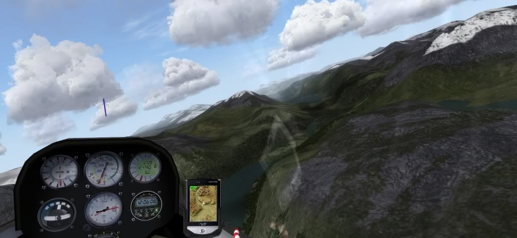
This Sarek itself, Sweden's second highest mountain:
And to continue the theme of "second best", here is the second largest Swedish city of the scenery, Gällivare:
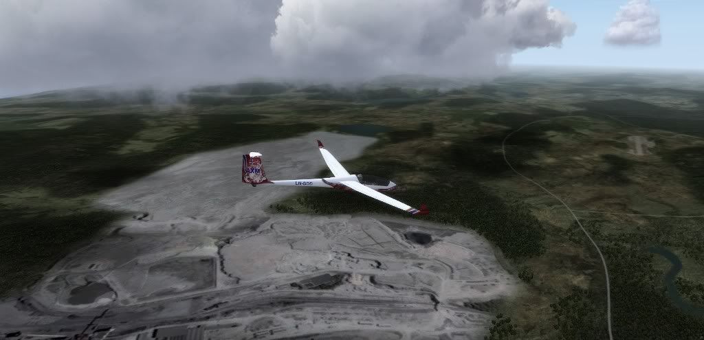
Gällivare is another mining town, and here is one of its gigantic mines. Just compare the size to the airport at the right edge of the image:
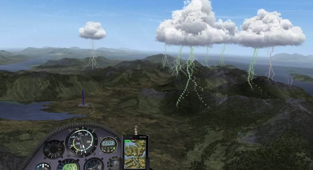
One of the big bog-areas west of Gällivare. Don't expect to find many good thermals here!
Northern Norway scenery in development
Re: Northern Norway scenery in development
Today I thought I should mention a bit about the thermals in this scenery. Number of thermals and strength is to a large degree decided by the type of terrain. In this scenery you should quite well be able to predict were there will be good thermals just by looking at the terrain.
Here you can see that there are few thermals over the bogs, and plenty over the hills to the right. Do you fly the direct route, or do take a detour along the hills to the right?
This can provide some interesting and challenging opportunities for task setters. One interesting new opportunity is some island hopping. The ocean creates hardly any thermals, so if the task setter wants to challenge the pilots make a task were it crosses some ocean between the islands. You will need to make sure you have enough height to make it across with enough height to find a thermal on the other side. Maybe fly slower than normal to get a better glide ratio. Or maybe there is a way around which only overflies land and you can find thermals all the way?
One particularly challenging location may be Andøya. Neither the sea around it, or the bogs which covers most of the island is great producers of thermals. But there are some hills where there may be thermals. And if there is wind (which there always is there in real life!) there should be good rigde lift, if not very high...
Also with predictable locations where the thermals can be found, maybe some blue day tasks can be an option too?
In any case, this is one map where it definately pays to be able to read the terrain.
Real life island hopping in Northern Norway. Blue over the ocean, plenty of Cu over the islands:
Re: Northern Norway scenery in development
Really nice! It has to be a wonderful experience to fly across this country in RL. Looking fw to try it at least through virtual condor world
Re: Northern Norway scenery in development
Good news! All tiles have now been completed, and all airports are finished! Just some minor tweaking and fixing remains, but it should be available soon!
I'll add some screenshots from the last part finished, and possibly the most spectacular part of the scenery, Lofoten and Vesterålen.
But first the last airport in Sweden to be finished, Lapland Airport in Gällivare. The Swedes use regular white runway markings:
Now over Hinnøya, Norway's largest island, and part of the Vesterålen archipelago:
Sortland, another island in Vesterålen. Hinnøya in the back:
Heading towards the Lofoten archipelago:
Real life soaring in the spring when there's still snow in the mountains:
Evening in Lofoten. In summer the sun never sets here:
Same location in real life:
Possibly the most scenic airport of the scenery, Svolvær:
Over Svolvær (airport in bottom right):
Real life runway 01 at Svolvær:
From the air:
Over westen end of Austvågøya (in Lofoten):
The closest mountain is the same as in this picture, but from other direction:
Re: Northern Norway scenery in development
Starting any flight with the map causes Condor 2 to crash with:
Access violation at address 006BB717 in module 'Condor.exe'. Read of address 00000000.
You do not have the required permissions to view the files attached to this post.